

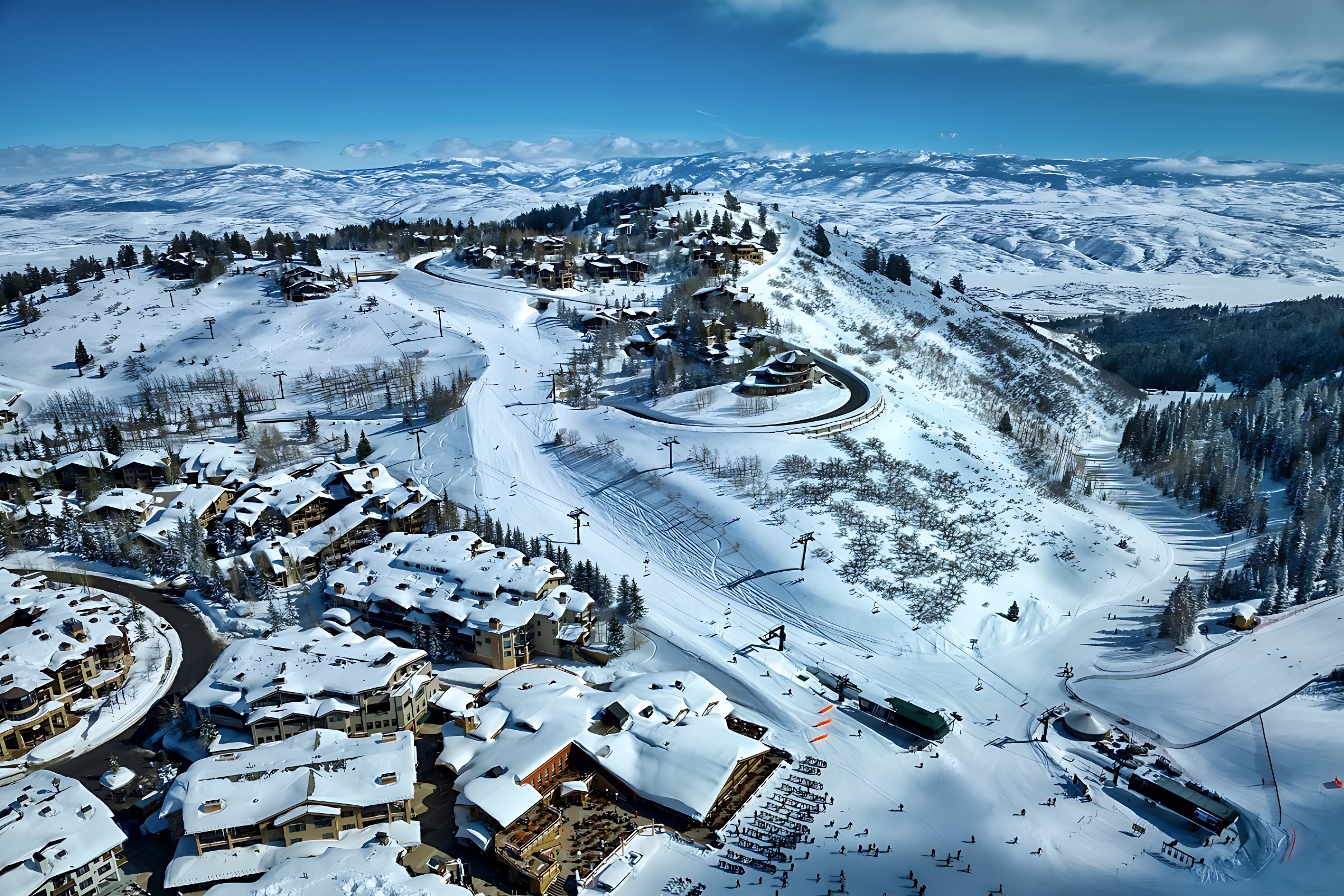
Drone Mapping Services
Now booking nationwide. We turn drone flights into maps and models you can view, share and plan from, flown with the DJI Matrice 4E and processed in DJI Terra Pro.
What you get
Orthomosaic maps: a single, high-resolution top-down image of your property or site, stitched from hundreds of overlapping photos.
2D property and site maps: clear overhead maps for planning, presentations and stakeholder updates.
3D models: a 3D view of buildings, structures and terrain you can rotate and review.
Site documentation: repeat flights that record how a site changes over time.
See an example of a DroneDeploy mapping project →
Example from DroneDeploy, not an iSky Films project.
Who it’s for
Property owners and developers, construction teams documenting progress, land and facility managers, and marketing teams who need an accurate overhead view.
Good to know
Our maps and models are for visualization, planning and documentation. They are not a substitute for a licensed land survey. If your project needs survey-grade accuracy, we’ll tell you up front.
Mapping FAQs
Do you map sites outside Arizona?
Yes. We take mapping projects nationwide.
What files will I receive?
We confirm file formats when we scope your project.
Is this a land survey?
No. Our maps and models are for visualization, planning and documentation, not a licensed land survey.
Related services
Construction: scheduled progress flights from groundbreaking to completion.
Commercial Real Estate: aerial views of buildings, parcels and surroundings.
Golf Courses: course photography and flyovers for marketing and renovation planning.
How it works
Tell us about the site: location and what you need the map for.
We plan the flight: airspace, permissions, image overlap and altitude.
We fly, process and deliver: data processed in DJI Terra Pro, files delivered digitally.