
Frequently Asked Questions.
What is aerial photography?
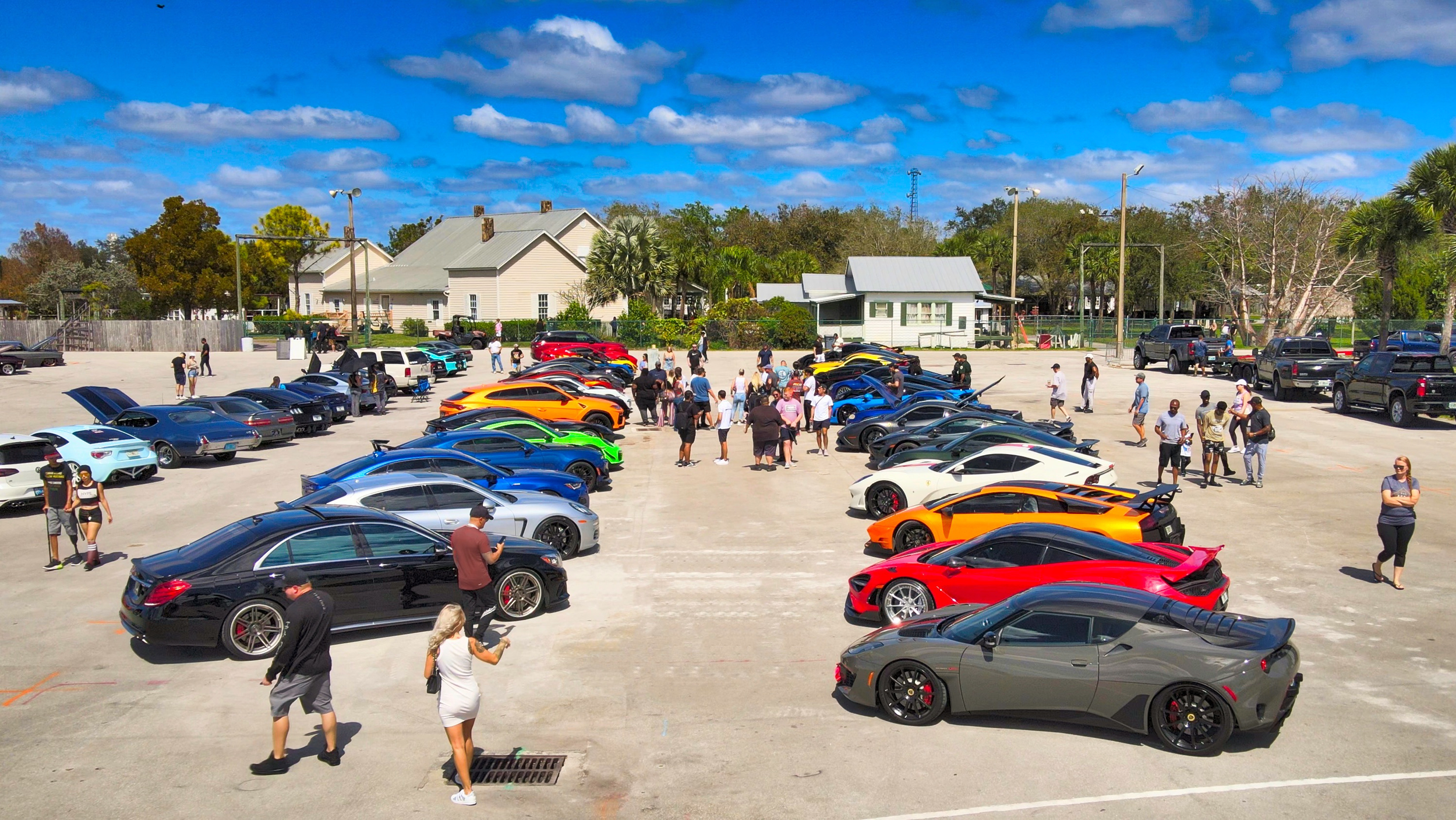
Typically, aerial photography refers to the use of drones or other aircraft to capture photos from a birds-eye-view. This is a very common practice in real estate and construction today. There are many types of deliverables when it comes to aerial photography, from 3D models to static photos.
What kind of drones do we use?
The type of drone is all dependent on the project. For something slower and more cinematic, we tend to fly DJI Mavic drones like the DJI Mavic 3 or DJI Mavic Air 2. If the project calls for a faster pace and more sporadic video, we will use our custom-built FPV drones or the DJI FPV.
What are the major uses of aerial photography & videography?
Some of the most common uses for aerial photography are real estate listings, construction progress updates, television, and events. Drone videos are usually used as scene-setting shots at the beginning and end of most commercial productions.
How much do drone services cost?
Standard aerial photo and video capture starts at $600. Edited aerial photo packages start at $700.
Our most common services include:
RAW aerial photos — starting at $600
Edited aerial photos — starting at $700
RAW 4K aerial video — starting at $600
FPV / cinematic fly-through capture — $800 per hour, with a 2-hour project minimum
Special airspace coordination — $300 when required
Rush scheduling — $300 for 72 hours, $400 for 48 hours, and $500 for 24 hours
Recurring construction documentation, multi-site programs, mapping, thermal/inspection work, 360° HDR panoramas, custom productions, and custom FAA waivers or special authorizations are quoted based on project scope.
Airspace fees and rush services apply only when required. FAA approval, weather, site conditions, and pilot availability can affect scheduling.