

Different Types Of Aerial Photography?
An aerial photograph, in general terms, is any photograph shot from the air. Normally, air images are shot vertically from an airplane using a highly accurate camera. There are various factors you may look for to discover what makes one shot distinct from another in the same region, including the kind of film, scale, and overlapping. Other key ideas employed in aerial photography are stereoscopic coverage, fiducial markers, focal length, roll and frame numbers, and flight lines and index maps.
Aerial photography is an interesting field that professionals use for many different reasons. There are also many different ways to take aerial photos.
Low Oblique Photography

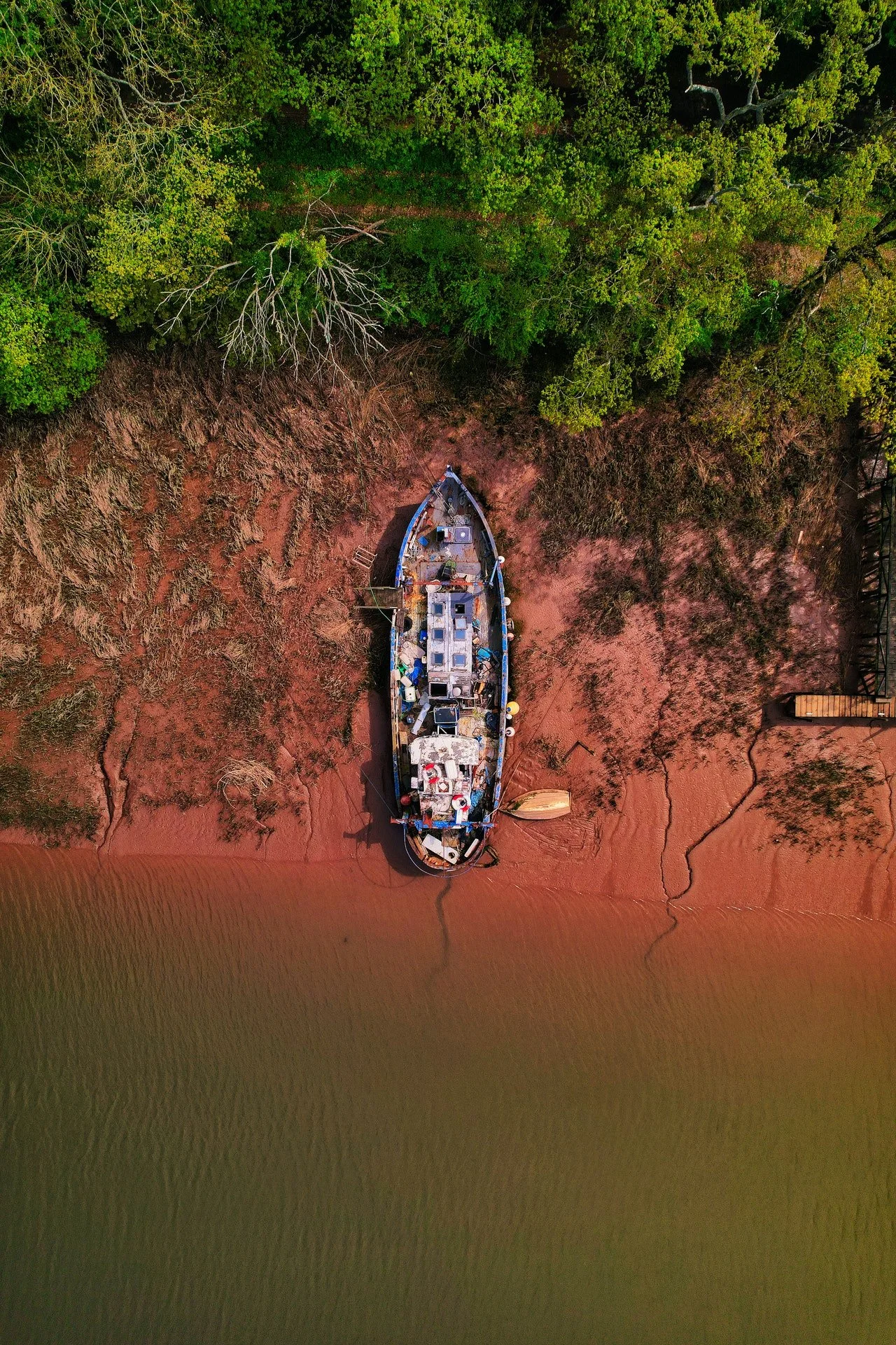
To take this sort of shot, you need to rotate the camera axis more than 3 degrees. In this situation, the sky will not be visible in the final picture, and the picture will be somewhat warped as a consequence. These photographs can be beneficial for obtaining close-up shots that require greater detail and are often used for marketing.
High Oblique Photography
When the camera is tilted 60 degrees, a larger region is captured and the horizon is visible. Recognizing geographical features and landmarks is simpler with a broad viewpoint.
Vertical pictures are more important for mapping but harder to get in variable conditions. Most photographers like oblique pictures since they're easier to take in different weather conditions. Oblique images are better for topographical, geographical, and archaeological surveys.
Big scale and small scale aerial photography are two types. The clarity and complexity of the scale may vary with aircraft altitude, like with other axis-based photos. Large-scale photographs of tiny regions are more detailed than smaller-scale ones.
Scales for Aerial Photography
In photography, scale refers to the comparison of the distance between two spots on an image to the distance that those points actually are from one another in real life. The idea of scale is extremely important to the practice of vertical aerial photography. Before making any attempt to make sense of what you see in the image, it is essential to have a firm grasp of its dimensions. Using a scale in an illustration makes it possible to measure many different parts of an image.
Large scale aerial photography

Low-flying aircraft have smaller cameras, yet the objects they observe have a greater apparent size because of this. That means that the ratio of photo distance to the ground, or the representative fraction, is of greater value. Low-altitude photos are regarded as large-scale images because of this. Photos with a high resolution are better for mapping land characteristics and measuring items.
Smaller regions can be seen in more detail on images taken at a larger scale (such as 1:25 000). This merely means that the ground features have been enlarged and are shown in more detail. The snapshot shows a smaller area of terrain covered than at lower sizes.
Medium scale aerial photographs
Intermediate pictures are those that have a scale that falls anywhere between 1:15,000 and 1:30,000. This is the typical guideline.
Small scale aerial photography

Higher altitudes allow for wider areas to be captured in a single shot, yet the ratio of object size to ground dimension is actually decreased when photographing from a higher altitude. As a result, aerial photographers refer to these images as "small scale shots" in the industry. Small-scale images can be helpful for looking at large areas whose features don't need to be mapped or measured in great detail.
Larger regions are depicted in less detail on images taken at a smaller scale (such as 1:50 000). Ground characteristics are reduced in size in a low-resolution photograph. The shot shows a greater amount of ground cover than is seen at larger resolutions.
Parallel or Overlap
It is a measurement in terms of percentages that indicates how much of the area of another image is covered by another photograph. The goal of the photographic survey is to achieve a forward overlap of 60% and a lateral overlap of 30% between photos captured along the same flight path.
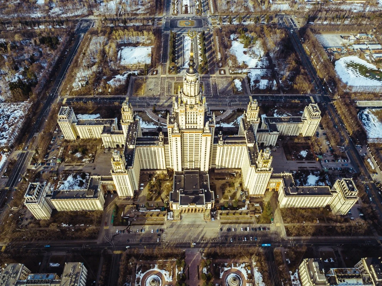
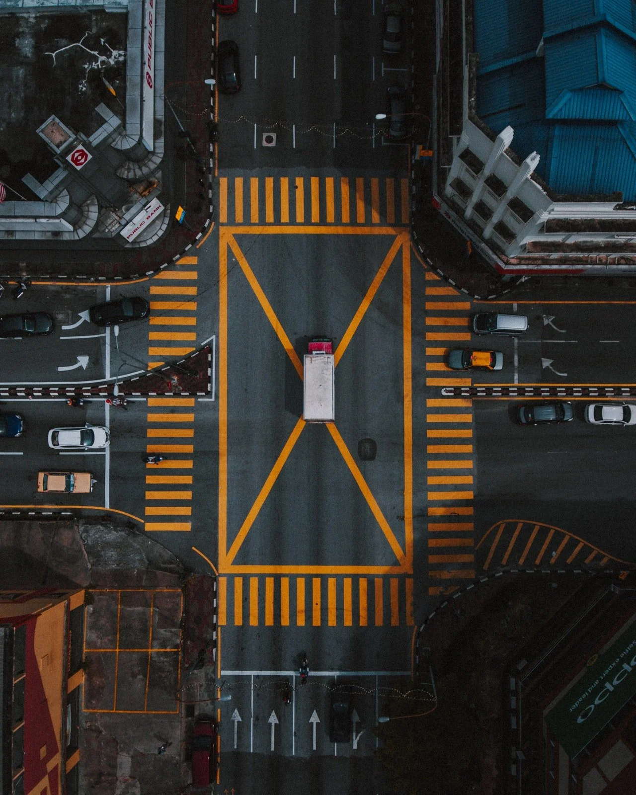
Vertical Photography
This shot was taken with the camera held at a vertical angle, which resulted in a plain image with little to no elevation and just a very small fraction of the overall subject being captured. Due to the direct and above-board impression that they provide, vertical photographs are frequently used in mapping.
Stereoscopic
The brain makes use of a stereoscope to view two pictures that overlay one another, "stereo pairs" in 3D. The brain combines the two stereo images in order to form a three-dimensional picture, and in the process, it generates a somewhat unique viewpoint on the same topic as the original stereo images. This is a collection of approaches used to build 3D pictures using many shots of the same region taken from different locations.
Panchromatic Photography
These are grayscale photographs, so color is not an element here. They can be utilized for either mapping or reconnaissance purposes.
Spectra-zonal Photography
Photos that are panoramic, stereo, pictorial, and orthophotographic may all be made by mixing multiple types of photography. Which kind of photography is combined depends on the purpose that the final images are going to serve. The particular approaches to photo fusion that were utilized gave each one of them their own distinctive appearance.
What sort of photo to take?
The type of shot you should shoot is determined by the context in which an aerial view is acceptable.
Oblique aerial photography is a very helpful resource for study in the fields of geology and archeology. When conducting reconnaissance surveys, it is common practice to make use of both low and high oblique images. In order to produce 3D models, the Oblique program may also be used.
The creation of a 3D model often involves examining the results of merging a large number of photographs of the same area that were taken from a variety of perspectives. A photograph is said to be stereoscopic if the subject of the photograph gives the impression that they are moving in all three dimensions, or if the subject gives the impression that they are moving in two dimensions.
On the other hand, vertical photographs are preferred for use in mapping as well as the vast majority of applications that include object recognition.
How Do You Take Aerial Photos?
Stunning photographs may be taken by mounting the camera on a platform that is located atop an aircraft such as an airplane, helicopter, hot air balloon, or drone. This will allow you to take pictures from a unique perspective. There have even been instances of archaeological sites being photographed with kites equipped with cameras attached to them. After the camera has been installed, you will then have the option of activating it automatically or remotely. It's also possible for a photographer to take the picture when they're flying in a hot air balloon or airplane while holding the camera.
The Goal of Aerial Photography
Aerial photography is considered to be one of the oldest forms of remote sensing. Despite this, it is one of the most frequently used and efficient methods for accomplishing this objective. Before there were modern ways to take photos, traditional photographers used this technology for a number of things, like seeing things from a long way away.
Because of developments in technology, services of this kind may now be obtained at lower costs and with a greater degree of convenience than in the past. This style of photography may be utilized in a wide variety of contexts. Because it has been used for so long, we can see how the landscape has changed over time from a historical point of view.
One of the most common applications for vertical aerial photographs is the creation of maps. Aerial photographers use both vertical and oblique photos for projects like land use, movie making, environmental research, archaeology, power line inspections, oil and gas surveys, surveillance, commercial advertising, and even artistic projects.
You may detect water features, find oil and gas pipeline ruptures, and locate archaeological sites with the use of photographs shot at an angle or vertically. During combat, aerial photographs are frequently utilized for target identification. The number of different industries that can benefit from drone technology is growing as the technology itself advances.
The Downsides of Using Aerial Photography
One of the disadvantages is that there is always a chance that a shoot may have to be called off because of bad weather. In addition, natural characteristics of the landscape, such as trees, might obscure the location of man-made land features, making it more difficult to find them. It may be challenging to distinguish between seemingly insignificant variations in topographical features in the absence of stereoscopic viewing technology and/or the superimposition of several pictures. When there is not enough light, aerial photography might be rendered useless since the colors and tones do not contrast well enough.